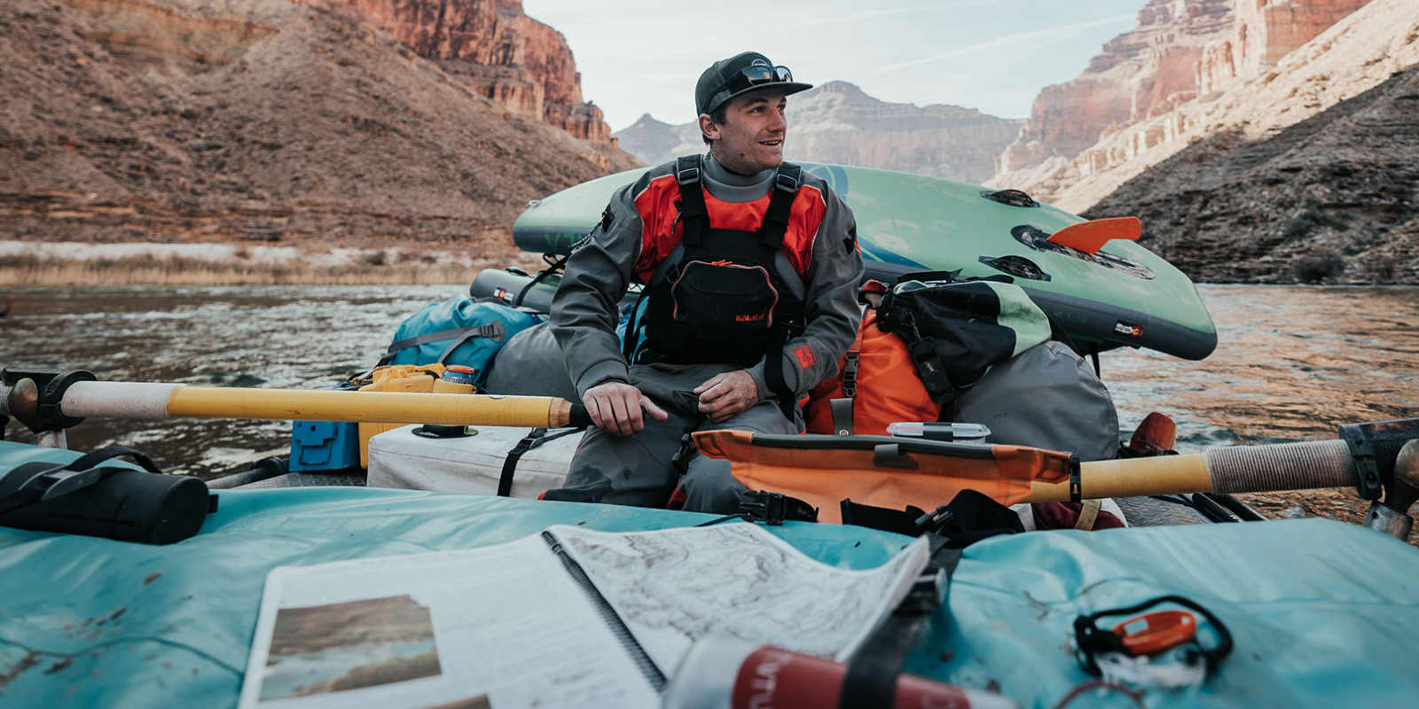
When you plan to be out there on the river, oftentimes without cellphone reception, having a RiverMaps guidebook will help you get prepared and stay prepared. Rivermaps offer information on campsites, river features, and historical facts. They are a necessity on overnight or multi-day river trips in the west.
Why we love RiverMaps Guide Books
|
RiverMaps Guide Books are based off USGS topographic maps. Which means they have the most accurate and detailed information of any guide book. They not only show you the river, but help you understand nearby land features as well.
|
|
The maps include detailed information about each campsite, so you can know beforehand the size, quality and notable features of the site, helping you prepare properly.
|
|
The guide books have details for more hikes than any other river guide books, complete with hike descriptions and trail maps on the topographic maps. We especially appreciated this feature while on the Grand Canyon, when we were able to hit all the best side hikes the Grand Canyon had to offer.
|
|
RiverMaps are fully waterproof. When rowing the canyon, you want a book you can leave out on your raft. The River Maps guide handles splashes and immersion and still looks new by the end of the trip.
|
|
History and Geology features. The RiverMaps guide tells you where you are and helps you understand the significance of the area and what feeds the river ecosystem. From explaining how the bedrock formed to describing the first descent of the rapid, River Maps helps you build connection to place.
|
RiverMap Guide Books on CKS Online