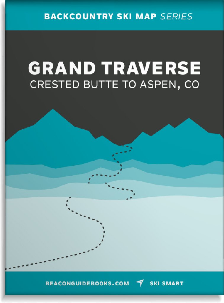


Description
Put on by Crested Butte Nordic and taking place in late March/early April each year, Grand Traverse racers travel 40 miles and climb over 6,800 vertical feet across the Elk Mountain Range beginning in Crested Butte and ending at Aspen Mountain. Made for racers, this topo map shows the mountain terrain between Crested Butte and Aspen, through which the Grand Traverse route crosses, all in a lightweight and highly functional backcountry tool that satisfies the gear requirements of the race.
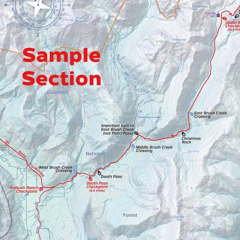
This backcountry map highlights the conditional route, the landmarks along the way, checkpoints specific to the race, and avalanche hazards as well as outlines etiquette for training. Backcountry huts on this map include, Fritz Benedict, Barnard, Goodwin Green, Opa’s Taylor, Markely, Lindley, Tagert, and Friends. 1:48,000 | 40′ CONTOUR INTERVAL.
To learn more about the race, head to TheGrandTraverse.org.
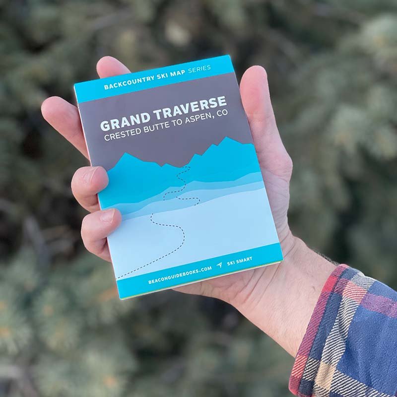
WATERPROOF | TEARPROOF | 1.5 OUNCES | 4″ X 5.5″ (folded) | 18″ x 22″ (open)
Now On Sale