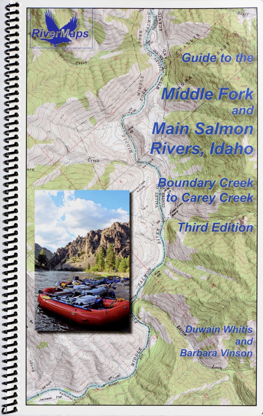
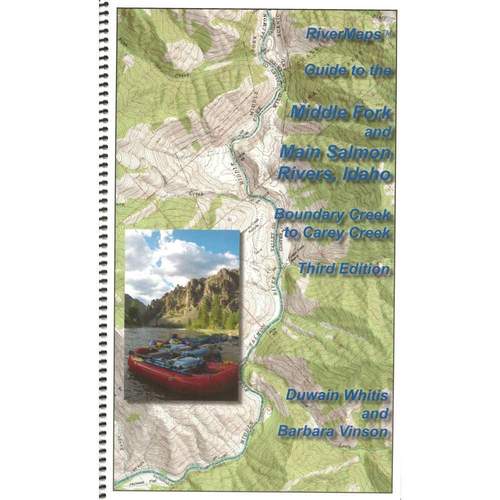


Description
The Guide to the Middle Fork and Main Salmon Rivers, Idaho, Fifth Edition , by Duwain Whitis & Barbara Vinson, covers the entire Salmon river, from the Boundary Creek launch site on the Middle Fork to the Carey Creek take out on the Main Salmon.
Spiral-bound guide books are offset-printed on plastic pages. The covers are plastic card stock. The entire books are waterproof and tear resistant (but not indestructible!). Guide books include mile-by-mile descriptions of campsites, rapids, and points of interest and include many photographs. 76 pages with 32 maps, 184 miles, color photographs and shaded topographic relief.
There are also info pages on frequently asked questions about boating the river, area geology, archeology, resources protection and plants found along the river. This is a must-have guidebook for your trip down the Salmon.
River Maps Guide to the Middle Fork and Main Salmon Rivers, Idaho, Fourth Edition Features:
- ISBN-978-1-7324017-3-0
- Authors: Duwain Whitis & Barbara Vinson
- Copyright: 2025 5th Edition
- Size: 9"w x 14"h waterproof paper
- Pages: 76
- Map Pages: USGS 7.5" color topo reproductions
- Scale: 2,000 feet per inch (1:24,000)
Now On Sale